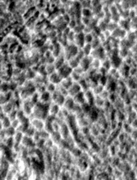
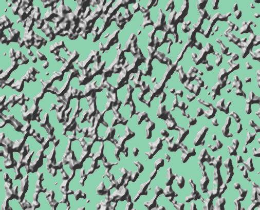
 Cydonia Quest C Image Enhancements C The "Suburbs" : Part Two C I've chosen to enlarge two samples of the "Suburbs" as they appear in the new MGS image M22-00378. As usual the best viewing effect with these enlargements is to be found well back from your screen. The two areas are taken from opposite sides of the MGS image strip to reveal how the appearance of this latticework of walls and holes in the ground is not uniform over the whole of the image. In the first of these enlargements (shown below) it can be also be observed that the grid of walls is not rigidly rectilinear in this particular sample. Of course if these are the ruins of an artificial structure, then the collapse and erosion of walls will have eradicated much of the artificial "feel" of the remnants.
|
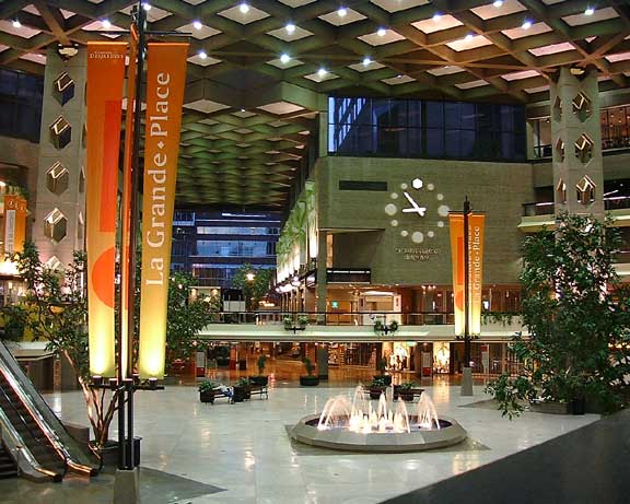
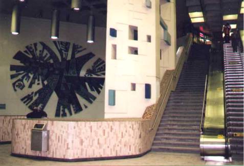
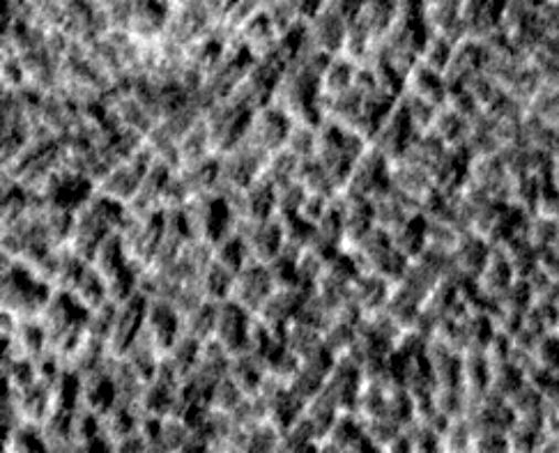
It is the Cydonia Quest position that if the artificiality hypothesis is true then these walls once supported a single roof. There is a small area in M22-00378 where this roof still appears to be in the process of caving in. Part of this area can be seen in the top left hand corner of the first enlargement where there are no walls, but there are deep slits into possible underground chambers. The first enlargement also illustrates another mysterious feature of the "Suburbs" as seen in M22-00378 and SP1-23903. This is the imposition of circular arrangements of walls or pits into a landscape in which these features usually run in lines. In the case of this specific enlargement there is the unusual ring of pits filling the lower right quadrant of the picture. Both outside and within this ring the pits follow an entirely different pattern. (Text continues below the picture). C ccccccccccccccccccccc c If the reader accepts the hypothesis that the "Suburbs" were once artificially carved, underground chambers (that are now open to the sky) then there isn't actually a reason why they should be arranged in a rigid grid. To the builders of this underground city each chamber would be as individual as any building in an Earth city. The Cydonian architects would be free to design the chambers to different sizes, shapes and orientation to make the "Suburbs" an interesting place to live. The width of the enclosed areas in M22-00378 are smaller than those found further South in MGS image SP1-23903, but I estimate them as ranging in size between about 150 feet and 250 feet across. As brightly lit and heated underground chambers (filled perhaps with what passes for trees and gardens to extraterrestrials) one could imagine them providing a pleasant environment in which to live. The following pictures are scenes from public places in Montreal's Underground City. If the "Surburbs" are the remains of an underground city then they may have once looked similar. C ccccccccccccccccccccccccccccccc ccccccccccccc cccccccccccccccccccc c If the "Suburbs" do turn out to be the remains of an extensive underground city then there is the intriguing possibility that we are only seeing the top layer of the edifice. There should be some kind of network of service shafts and subway tunnels running underneath the "Suburbs" to meet the needs of its former inhabitants. The second area of M22-00378 I've chosen to enlarge exhibits many more rectilinear features than the first, especially as the eye moves into the top right hand quadrant of the image. The landscape is in a greater state of erosion than in the first enlargement. We can see arrangements of straight walls - many meeting at right angles - and quite a number sharply rectangular enclosures. When we ignore the actual context and size of these features, there is a general impression that we are looking at some fuzzy aerial photograph of some long abandoned ruined city in an Earth desert. (Text continues below the picture). C ccccccccccccccccccc c There is a tendency when examining these pictures of the "Suburbs" for the shadowy, concave hollows to flip over and become dark, convex outcroppings on a pale background. The image below takes the image above and utilises a facility in the Corel PhotoPaint 9 software to turn patterns of light and shade into three dimensional representations. To make things easier to understand I've excluded the lowest elevations in the image to emphasise the layout of the main walls. C ccccccccccccccccccc c I suspect that the reader's willingness to consider the "Suburbs" as the ruins of an artificial habitat will be conditioned somewhat by how rigidly geometrical the street layout is in the town or city they are most familiar with. However, the majority of the world's cities seem to function efficiently without an underlying geometrical principle, as the following example demonstrates. C cccccccccccccccccc µ Return to the Enhancements page
|